

Pacific Geomatics is a High Resolution Satellite Imagery Provider.
Find the Right Source to Purchase Satellite Imagery
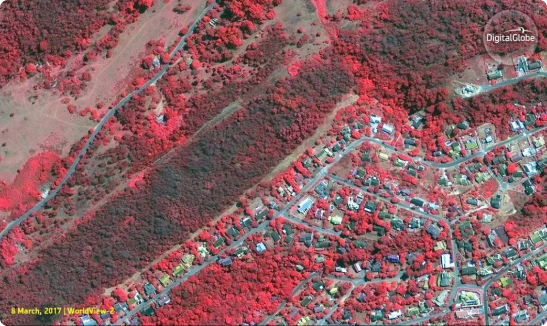
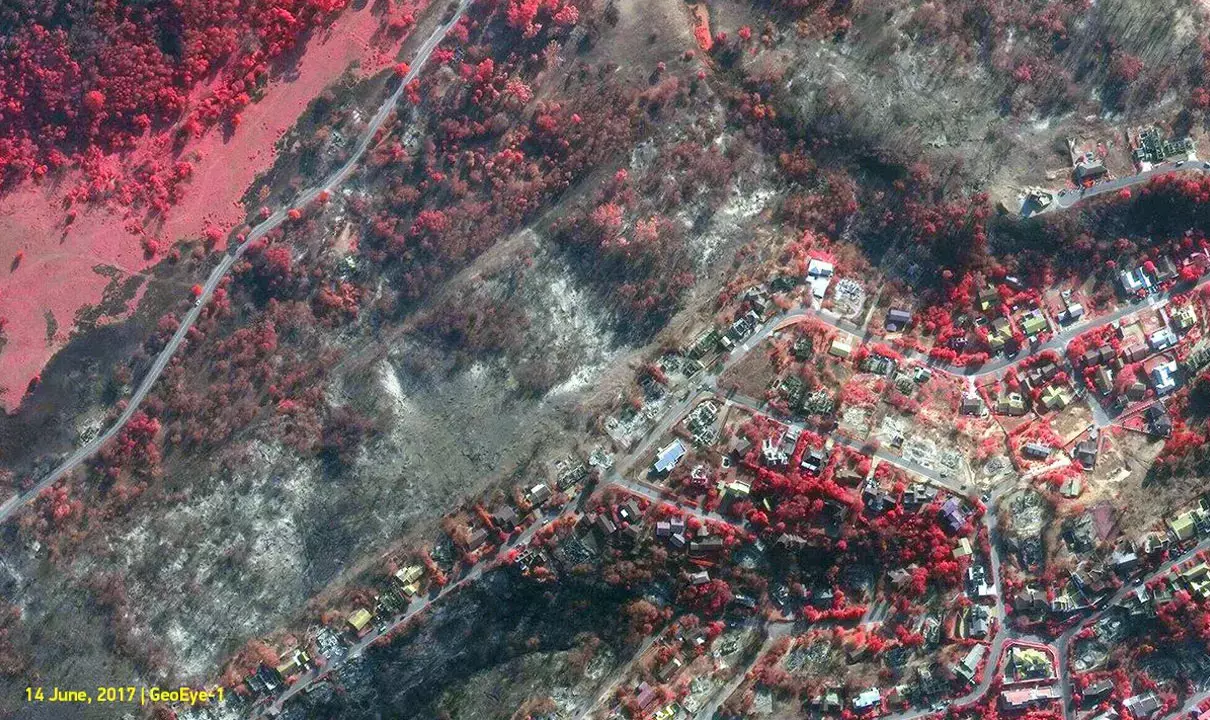
Get up-to-date and accurate historical images from the most advanced satellites in space.

Pacific Geomatics is a Satellite Imagery Provider.
Find the Right Source to Purchase Satellite Imagery
Get up-to-date and accurate historical images from the most advanced satellites in space.
The options for satellite imagery are endless.
We know how challenging it can be to sort through the options. That’s why Pacific Geomatics delivers far more than imagery. We provide the expert guidance and steadfast service your project deserves.
Unparalleled
Expertise.
As a high-resolution satellite imagery provider, we have been guiding clients to the right solutions for their projects since 1994.
Access to the Best Vendors.
We only work with the most advanced satellite imagery vendors in the world.
An Easy Process for Accessing Fresh and Historical Satellite Images.
You tell us the problem. We present clear and accurate solutions for the most up-to-date and historical images from the most advanced satellites in space.
Find the Right Source of Satellite Imagery
Our Team can help you find up-to-date and historical images using the most advanced satellites in space.
High Resolution Satellite Imagery
Using the latest in Earth Observation Satellites, we help you get the clarity you need to make the right decisions for your project.

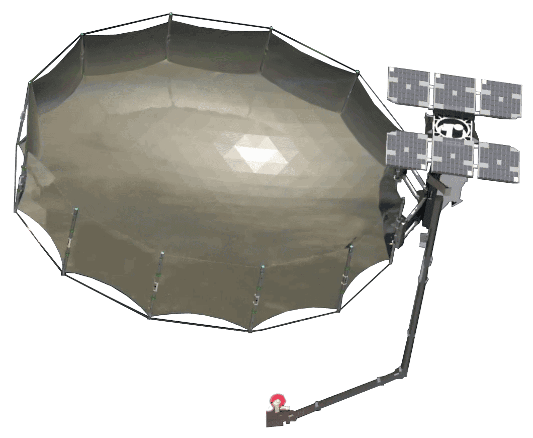
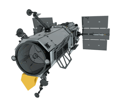
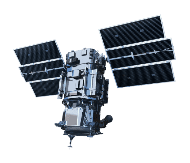
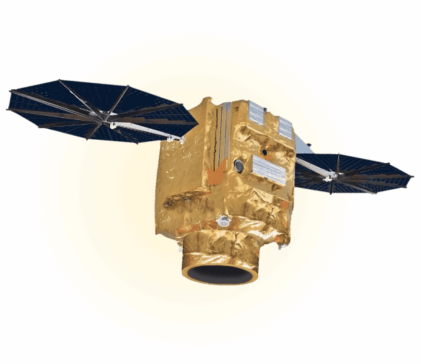
Access to the World’s
Most Advanced Satellites
Meet our eyes in the sky—the latest generation of satellites
from Maxar, Airbus Defence & Space, Planet, SIIS, and Capella
—and discover what they’re capable of.


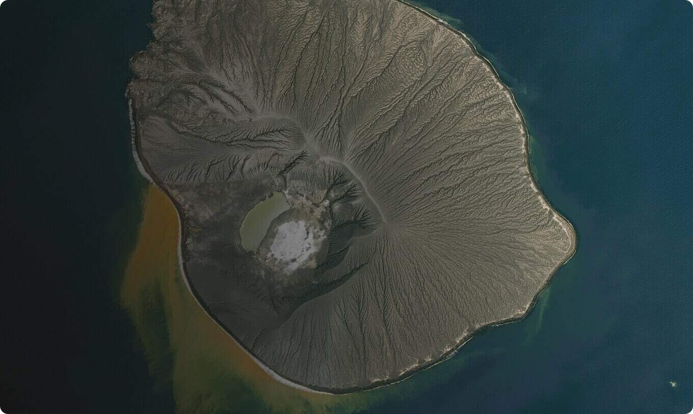
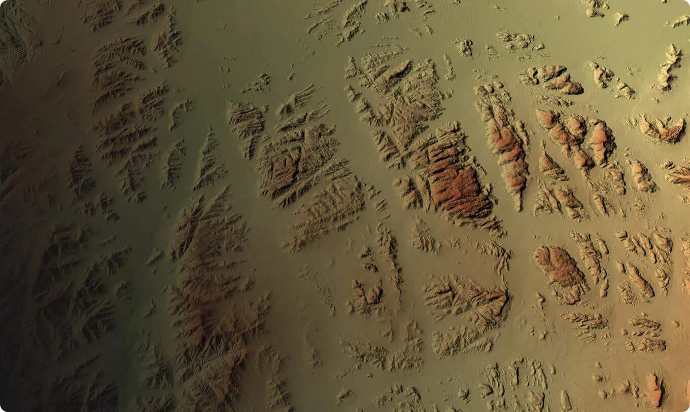
Digital Elevation Data
We help you confidently access insights from detailed Digital Surface Models and Digital Terrain Models.
The World’s Best Elevation and
Vector Data Providers
AW3D Global High-Resolution 3D Mapping
AW3D is the world’s most precise global 3D map covering all global land spaces with 5 meter resolution, developed and sold jointly by NTT DATA and Remote Sensing Technology Center of Japan (“RESTEC”). This service also distributes highly detailed 0.5 meter to 2 meter resolution versions of 3D map utilizing satellite images from Maxar Technologies.
AIRBUS Global High-Resolution 3D Mapping
Airbus Defence and Space offers the most comprehensive range of Digital Elevation products and Ground Control Points based on space-borne optical and radar technologies.
WorldDEM™ Neo is the newest and most accurate Digital Elevation Model available globally. It’s unique data quality and level of detail supports a wide range of applications such as line of sight analysis, hydrological modeling, and much more.
Custom High-Resolution 3D Mapping
Using industry-leading satellites, our experienced team can produce high-resolution DSMs and DTMs, contours, spot heights, breaklines, hydrography, transportation layers, and more.
See Your World in 3D
Access the dataset you need for real-world calculations. The Maxar 3D and elevation models enable you to measure and analyze your projects in 3D for a more complete picture of the situations that matter to your organization.
Find the Right Source of Satellite Imagery
Our Team can help you find up-to-date and historical images using the most advanced satellites in space.
Make Decisions with Greater Clarity.
Avoid receiving images that leave you with more questions than they do answers. Instead, get the high-quality images you need to gain clarity about critical decisions and keep your project moving forward.
See the Difference
The options for satellite imagery are endless but not all providers give you access to the right source that will help you collect, analyze, and apply satellite imagery data to inform your projects.
About Pacgeo
A leading satellite imagery provider
The options for satellite imagery are endless. At Pacgeo, we guide you to the right ones for your project so you can gain clarity about the critical decisions in front of you and keep moving forward.
Make confident decisions based on the right data.
At Pacific Geomatics, we know how critical it is to be confident you have the best satellite imagery for your project. In order to have that assurance, you need to find the right sources of imagery for the decisions you need to make. The problem is, the options for satellite imagery are endless, which makes it hard to feel sure you’ve found the right ones for your project. We believe you shouldn’t have to be an expert to find what you need. We know how challenging it can be to sort through the options. That’s why Pacific Geomatics delivers far more than imagery. We provide the expert guidance and steadfast service your project deserves. We’ve been guiding clients to the right solutions for their projects since 1994, and we only work with the most advanced satellite imagery vendors in the world. Pacific Geomatics serves a wide range of industries and is a trusted provider of high-resolution satellite imagery for the Canadian government and its defense, intelligence, and security sectors.

Here’s how we guide you to the right source of imagery for your project.
1. Tell us the Problem
Explain the situation to us on your terms. We’ll translate it into the world of Satellite Imagery.
2. Review Your Options
Be presented with a simple choice of the top 2-3 imagery solutions for your project.
3. Make confident decisions
Know you have the right data in hand to make the critical decisions that keep your project moving forward.
Find the Right Source of Satellite Imagery
Our Team can help you find up-to-date and historical images using the most advanced satellites in space.
© 2022 Pacific Geomatics Limited
Request a Quote
Our Team can help you find up-to-date and historical images using the most advanced satellites in space.